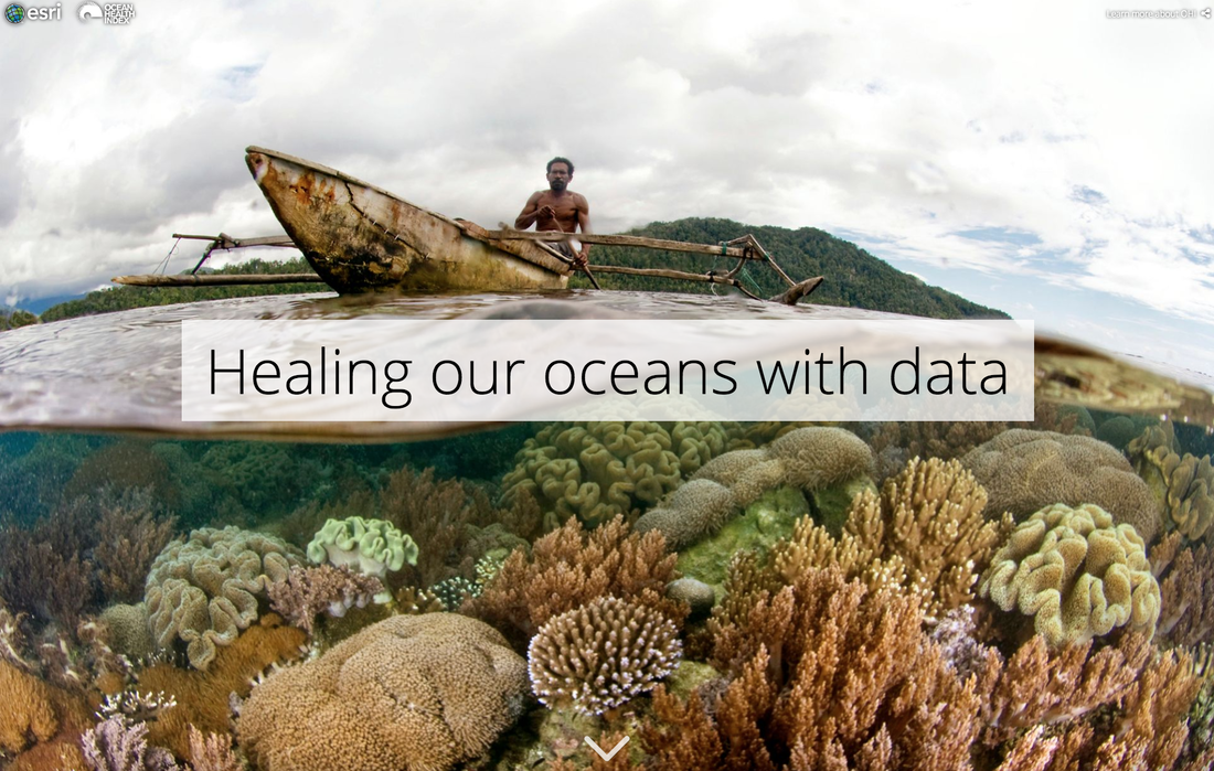
Healing our Oceans with Data
An interactive StoryMap highlighting the history of the Ocean Health Index and how they measure ocean health. The StoryMap concludes with an opportunity to explore the most recent year of global scores and trends. Developed while I was the Communications Coordinater for OHI. (Click on the picture to view the StoryMap)
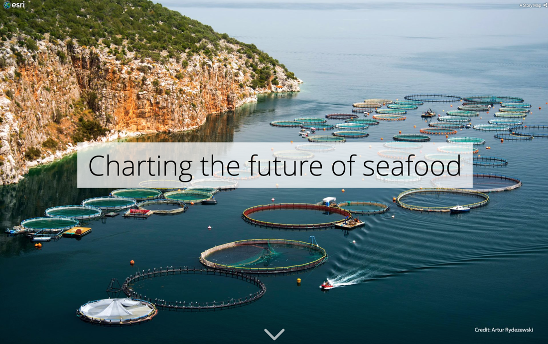
Charting the Future of Seafood
An interactive ESRI StoryMap highlighting the role aquaculture plays in feeding our growing population. Created in partnership with the Conservation Aquaculture Research Team with Halley Froehlich, Jamie Afflerbach, and Jenny Seifert. (Click on the picture to view the StoryMap)
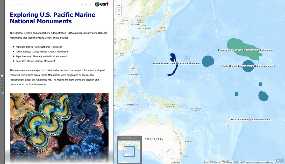
Exploring U.S. Pacific Marine National Monuments
An interactive ESRI StoryMap which highlights the four U.S. Pacific Marine National Monuments. Co-developed by Kara Koenig and myself for our master's thesis group project. (Click on the picture to view the StoryMap)
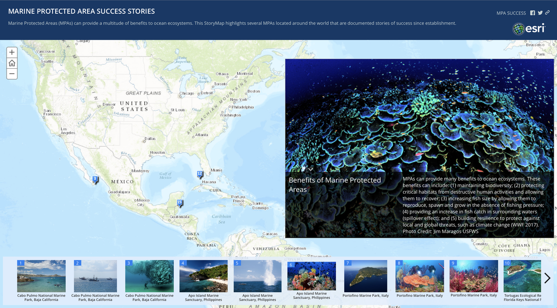
Marine Protected Area Success Stories
An interactive ESRI StoryMap which highlights stories of success from Marine Protected Areas (MPAs) around the world. Co-developed by Kara Koenig and myself for our master's thesis group project. (Click on the picture to view the StoryMap)